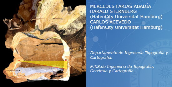
3D Modeling and Heritage
By means of engineering technologies, the data acquisition could be
done by different teams using topographic, photogrammetric and geodesic
methods, in order to obtain 2D and 3D representations of objects,
buildings and surfaces. We present the results obtained during the
search for cartographic methods, which can assist in the interpretation
and dissemination of knowledge regarding Archaeology and our Heritage.
To investigate different methods of portraying monumental edifices, we
made use of new data capturing equipment for which traditional
photogrammetrical methodologies were compared, taking advantage of the
least square adjustment capability provided by the independent grids.
To investigate procedures for the treatment of cartographic data a
study was undertaken, to develop a thematic cartography that combines
the scientific results with a graphical presentation.
- LN-F-001. Modelización y Patrimonio (PDF).
Tecnologías de representación 3D en los procesos de documentación
del Patrimonio Pétreo.
Topographic Projects
All topographic projects need proper georeferencing. Although the
position of a point is usually given by three coordinates from a
specific reference system, for the coordinates to be compatible with
the official cartographies the system used must be permanently defined,
i.e. the system origin and the axes of which it is formed must be fixed
with sufficient precision for the required objectives.
This document includes a brief description of the official reference
systems at present in use in Spain.
- LN-F-002. Proyectos Topográficos (PDF)
Referenciación de Proyectos Topográficos.
Cartography and 3D Modelling
Before 3D laser scanners were introduced, registration systems
relied on the traditional topographic methods to obtain cartographic
representations of zones of interest. We give here a brief description
of the first attempts to obtain support models for archaeological
records.
- LN-F-003. Cartography and 3D Modelling (PDF)
Photogrammetry
The aim of this document is to show the results of the digital
photogrammetry methodology and its potential for application in 3D
modeling in Archaeology. They are described the general possibilities
of the digital photogrammetry methodology and the application of the 3D
representation of three different sites in Jebel Buhais Archaeological
Area, in the United Arab Emirates. It will show the data collection
works of archaeological data in BHS 66, BH67 and the 5 Burial
artefacts, in an attempt to create and define a general methodology
with non metric camera images transferring the updated potential of
photogrammetry into 3D modeling.
- LN-F-004. Photogrammetry (PDF)
Digital Photogrammetry: 3D Representation of Archaeological
Sites.
Previous 3D Modeling Methodologies
The principal aim is the creation of tridimensional pattern of
archaeological sites and their surroundings, while maintaining the
accuracy afforded by traditional cartographic documents. Thereafter the
more detailed data from the site is analysed, in an attempt to achieve
sufficient quality of data that will allow the creation of maps at a
scale of 1:100 of the surroundings, and 1:50 maps of the excavations.
In-situ data representing the topography of the site and surroundings
has been obtained, bi- and tridimensional “cartographic documents” have
been developed from DTM and hyper-realistic virtual representations of
the excavation.
- LN-F-005. Previous 3D Modeling Methodologies (PDF)
Artefacts 3D Modeling
This report presents a methodology for creating a graphic
representation of an artefact once the register and documentation of
the object have been obtained. The location of the artefact was
referenced from this point and the cartography of its surroundings
obtained. The first step was to apply photogrammetric methodologies to
obtain the metric definition, and afterwards, by means of techniques
such as 3D scanning to customise software, and other products. The
report will also discuss other proposed means of dissemination. It
questions how easy it is nowadays to obtain data and demonstrates why
interpretation needs to be integrated in the progress.
- LN-F-006. Artefacts 3D Modeling (PDF)